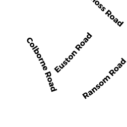
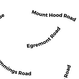
19 RANSOM RD
Owner Information
ALEXANDRIDIS CHRISTINA
19 RANSOM RD
BRIGHTON, MA 02135


Property Details
19 RANSOM RD is classified as a Three-Family Residential (Decker).
The primary structure on this property was built in 1926. There is 4,368ft2 of residential/living space within this property. This property is listed as having 18 rooms.
19 RANSOM RD is valued at $1,647,400. The land is valued at $471,200 and the structures are valued at $1,176,200.
The most recent deed for 19 RANSOM RD is recorded at the local registrar in Book 38944, Page 253. 19 RANSOM RD was last sold on Monday, January 30, 2006 for $9.
Assessment data from fiscal year 2020.
Flood Data
According to the FEMA National Flood Hazard Layer, this property does not appear to be in a flood zone. It may also be in an area not yet reviewed. Nonetheless, confirm this information prior to taking any action.
To view the flood hazards around this property, create a FEMA "Firmette" Map of the area around 19 RANSOM RD.
Broadband Internet Providers
| Provider | Type | Bandwidth (mbps) | |
|---|---|---|---|
| RCN | Cable | 500 | 20 |
| Comcast | Cable | 1000 | 35 |
| Crown Castle Fiber | Fiber | 0 | 0 |
| Viasat Inc | Satellite | 100 | 3 |
| Verizon New England Inc. | DSL | 10 | 1 |
| Verizon New England Inc. | Fiber | 940 | 880 |
| VSAT Systems, LLC. | Satellite | 2 | 1 |
| HughesNet | Satellite | 25 | 3 |
| GCI Communication Corp. | Satellite | 0 | 0 |
| Starry, Inc. | Fixed Wireless | 200 | 200 |
| RCN | Cable | 1000 | 20 |
Broadband service provider data from December 2020.
Adjacent Properties
- 23 RANSOM RD
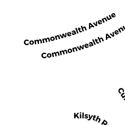
Three-Family Residential owned by PRAY LLC - 71 EUSTON RD 3
Residential Condominium owned by VINASCO MONICA - 71 EUSTON RD
Other, Open Space owned by SEVENTY 1 EUSTON RD CONDO TRUST - 71 EUSTON RD 1
Residential Condominium owned by YURKOVSKY SAVELY - 71 EUSTON RD 2
Residential Condominium owned by GUJRAL RASHI - 75 EUSTON RD
Three-Family Residential owned by SIDIROPOULOS ALEXANDROS - 15 RANSOM RD
Three-Family Residential owned by LEE PAUL